


Evaluating Los Angeles’ flood control measures following historic winter rainfall
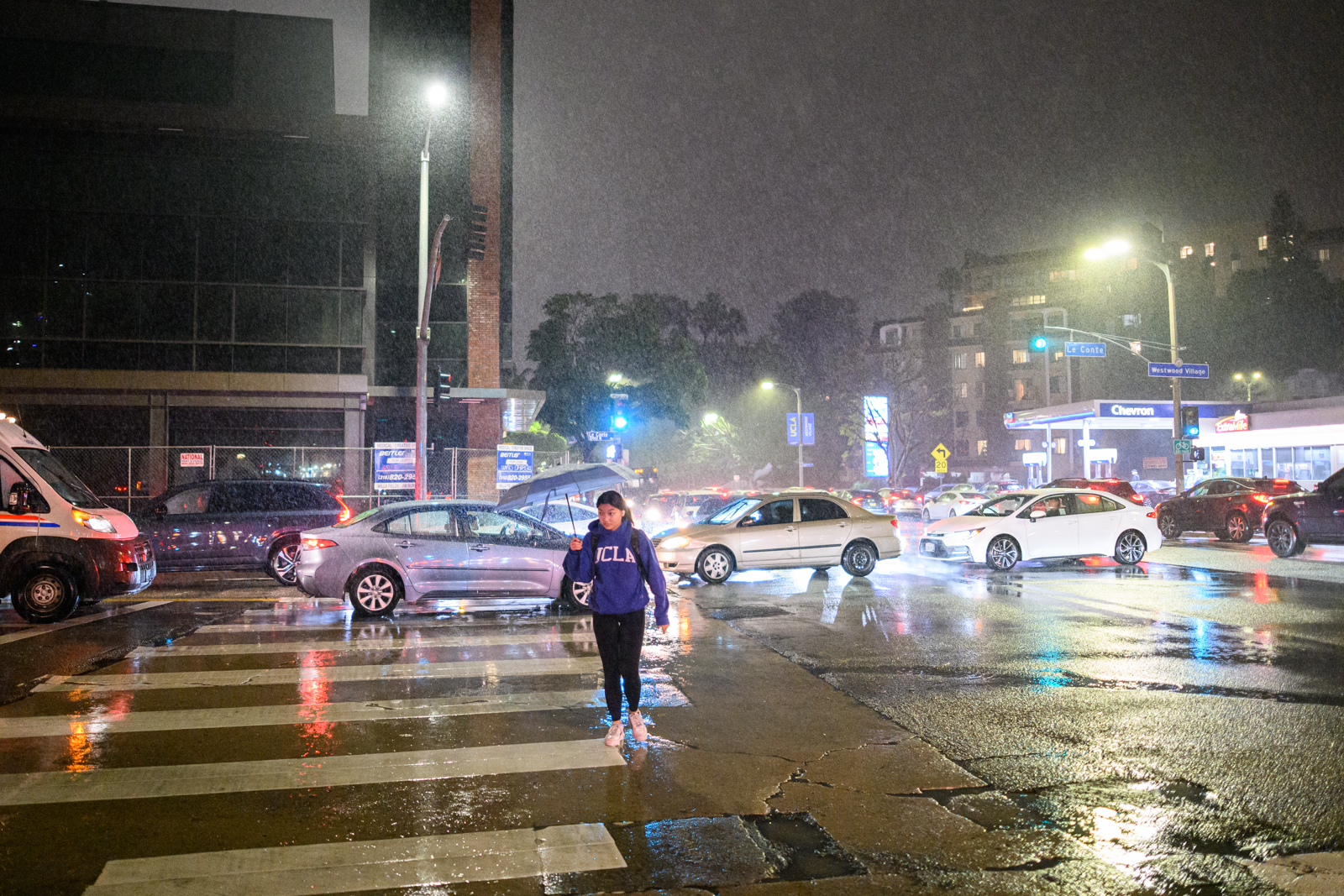
Rain pours onto the streets of Westwood at night. Los Angeles experienced historic levels of rainfall in February, which led to floods and damage to infrastructure. (Jeremy Chen/Photo editor)

By Riya Abiram
May 16, 2024 10:38 p.m.
Downtown Los Angeles experienced one of its historically wettest months February, hitting a record 12.56 inches of rain three weeks into the month, according to the LA Daily News.
Amid this downpour, businesses, homeowners and students raised concerns with the effectiveness of LA’s current flood infrastructure system and its capacity to manage significant rainfall events.
According to The Guardian, historic rainstorms triggered severe mudslides and flash floods as mud and debris flows necessitated multiple evacuations in the Hollywood Hills and Santa Monica area. The extreme rain caused power outages in around 300,000 homes and businesses across California and prompted the release of flood advisories for the county’s nearly 10 million residents.
Restaurants and other businesses also felt the impact of the rainstorms. Dana Slatkin, executive chef and owner of Westwood’s Violet LA, said in a written statement that the rain caused flooding that impacted the restaurant’s ability to seat customers.
“Every time it rained, our Courtyard turned into a swamp,” Slatkin said in the statement. “The volume of water was just too much for our gutters and no one wanted to sit where it was cold and damp, forcing us to close down nearly half our seating on most of the rainy nights.”
Slatkin added she felt frustrated by a lack of support from the city in addressing these challenges.
“I didn’t have any sense of outside or City help. We were left to fend for ourselves,” she said in the statement.
This frustration and lack of support underscores a much larger historical context.
According to SFGate, the evolution of flood infrastructure in LA began less than a century ago, with the LA River previously flowing naturally alongside the growing city. Then, in the early to mid-1900s, with the growing pressures of providing water to a newly urbanized community alongside a series of devastating floods that hit the community, residents called for more control over and use of the river.
Eric Batman, a senior civil engineer with LA County Public Works, said the city began building dams to better control water supply.
“The flood control district built its first dam in 1920, … and then over the next 20 years or so between 1920 (and) 1940, 13 additional dams were built. Many were built in the foothills and within the canyons of the Angeles Forest,” Batman said. “The purpose of these facilities were to, No. 1, provide flood protection, but also the water that was captured would be used to replenish the groundwater supply.”
He added that the occurrence of other significant rainstorms over the past century, such as a major flood in 1938 that resulted in the construction of the 51-mile LA river flood control channel, prompted the addition of several more dams and miles-long water channels.
According to the LA Times, officials still face issues with inadequate stormwater storage capacity, which often creates overflowing creeks and massive mudslides throughout the city. Federal engineers found in February that three major Southern California dams constructed by the U.S. Army Corps of Engineers were structurally unsafe and could even potentially collapse with another upcoming flood event.
Additionally, frequent flooding has led to layers of sedimentation buildup atop county flood control systems, according to the same source. Sediment buildup can restrict the effectiveness of control systems, and summer wildfires could decrease vegetation and add heightened risks to mudslides in the future.
Edith de Guzman, the cooperative extension specialist at UCLA’s Luskin Center for Innovation, said these shortcomings can put specific communities at a higher risk for flood damage.
“One of the ones that has been very much on the top of the list is parts of the northeast San Fernando Valley, (which) … have traditionally had more pervious soils which are now paved, so then that water needs to go somewhere,” de Guzman said. “Communities that are adjacent to the LA River, particularly in the southern part of the county, … are also at higher risk.”
Aside from public safety, Brett Sanders, professor of civil and environmental engineering, urban planning and public policy at UC Irvine, said there remain major issues with stormwater capture and ecosystem preservation.
“The flood infrastructure is not designed to provide many of the ecosystem services that you often get out of a river,” Sanders said. “A natural river would offer vegetation, would have better water quality. It would have habitat for biota, and it would support trees which provide shade.”
Sanders added that the reservoirs also face issues of sediment accumulation that prevent them from protecting Southern California from flood risk.
As LA responds to the aftermath of heavy rainfall, efforts are underway to enhance the city’s flood infrastructure. According to the LA County Public Works Office, there have been major efforts to restore the Devil’s Gate Reservoir and the Sepulveda Dam as city officials continue to remove millions of cubic yards of sediments from major flood infrastructure systems to provide effective flood relief to nearby communities. The LA Times also detailed the possible production of rubber dams, which aim to prevent extra water from overflowing the river and cut down on the runoff of wastewater into the ocean.
There have also been advancements made in the efficiency of stormwater distribution systems. According to the Global Resilience Institute, California has implemented numerous green infrastructure programs, all of which aim to control flooding, rehabilitate flora and fauna, and replenish aquifers by directing flood water to needy ecosystems and farmlands.
De Guzman added that there exists new green flood infrastructure called Westwood Greenway within the Westwood community itself. The site can be found between Westwood Boulevard and Overland Avenue on either side of the E Line.
“(It’s) a linear kind of park that captures water, cleans the water and then releases it back out. It’s a jewel in this part of the city,” de Guzman said. “It’s a stunning place to visit that probably right now is just teeming with wildlife.”
She added that the Westwood Greenway project is a great example of how natural processes can be combined with technology to benefit the public and local ecosystems.
If students want to get involved with efforts to improve flood infrastructure, de Guzman said there are abundant organizations such as LA Waterkeeper, Heal the Bay and Climate Resolve.
“Those are all groups that are really engaged in these topics and understand how to get changed through both policy and programs,” de Guzman added.

